We use cookies for your personalized browsing experience, to personalize content and ads, to provide social media features, and to analyze traffic to our website. We also share information about your use of our website with our social media, advertising and analytics partners. Our partners may combine this information with other data that you have provided to them or that they have collected as part of your use of the Services. (incl. US providers)
Kaunergrathütte
Kaunergrathütte

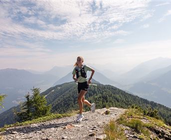
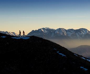
Kaunergrat Trail – extreme trail

Trailrunning

Hard

15,90 km

08:00 h

1430 hm

1670 hm

2935 m

Description

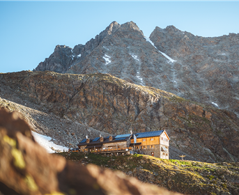
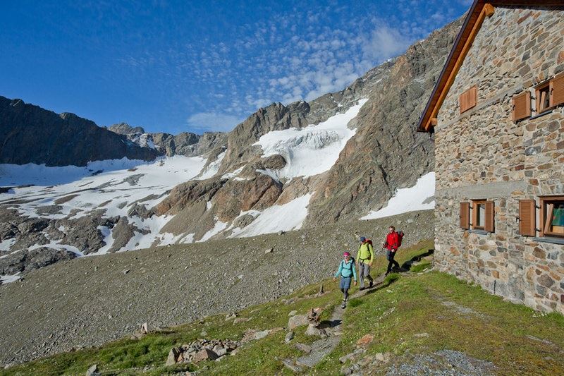
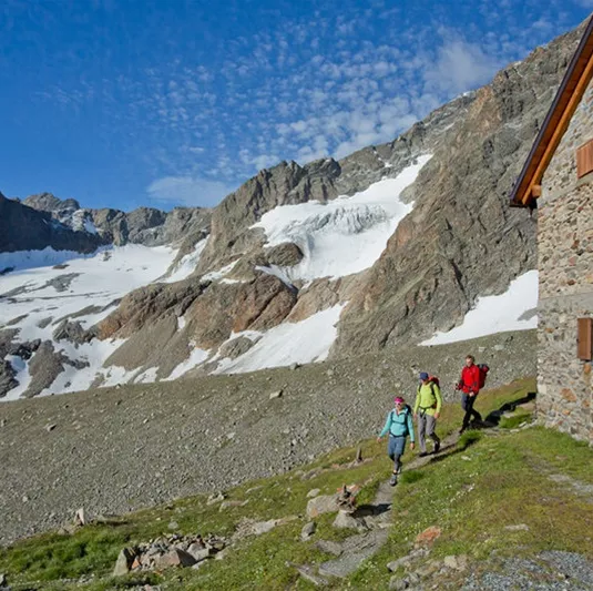
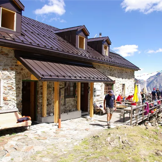
Staring in Mandarfen, follow the agricultural road down the river to Plangeross. Once there, there is a steep ascent past the non-catered Plangeroß Alm vorbei, to the catered mountain hut Kaunergrathütte (2,817 m). Once there, continue to run in a North-Easterly...

Read more ...

Features & Characteristics

Best Season

Jan

Feb

Mar

Apr

May

Jun

Jul

Aug

Sep

Oct

Nov

Dec

Starting Point:

Mandarfen

End Point:

Trenkwald

Map & Elevation Profile

Arrival

If you arrive by car, follow the Pitztaler Landesstraße to the hamlet Mandarfen.

Similar Tours

Trail Running (4).jpg

Medium

3 summits circuit

Medium

Trailrunning

14,50 km

03:30 h

1250 hm

2510 m

Trail Running.jpg

Hard

Wildgrat Trail

Hard

Trailrunning

18,20 km

04:00 h

1450 hm

2971 m

Rifflsee2.jpg

Easy

Rifflsee circuit

Easy

Trailrunning

11,60 km

02:00 h

630 hm

2289 m

Infos
Accommodation