We use cookies for your personalized browsing experience, to personalize content and ads, to provide social media features, and to analyze traffic to our website. We also share information about your use of our website with our social media, advertising and analytics partners. Our partners may combine this information with other data that you have provided to them or that they have collected as part of your use of the Services. (incl. US providers)
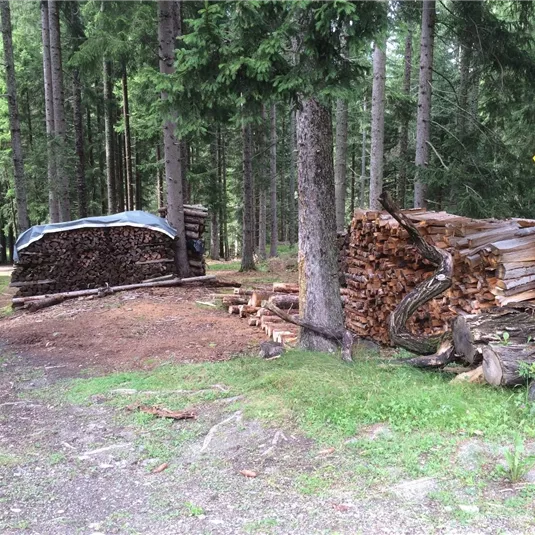
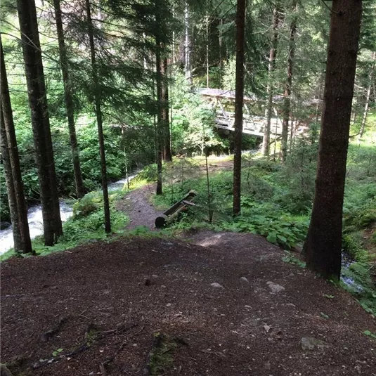
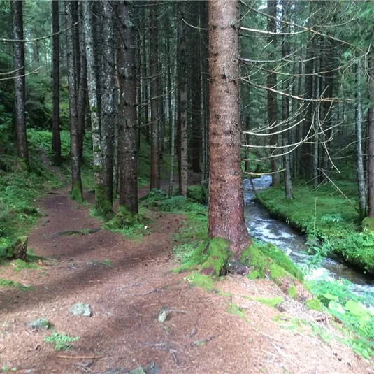
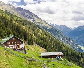
klausbodenrunde.JPG
klausbodenrunde.JPG
+9

Klausboden circular walk

Hiking tour

Walking trails

Easy

2,50 km

01:00 h

50 hm

1260 m

Description

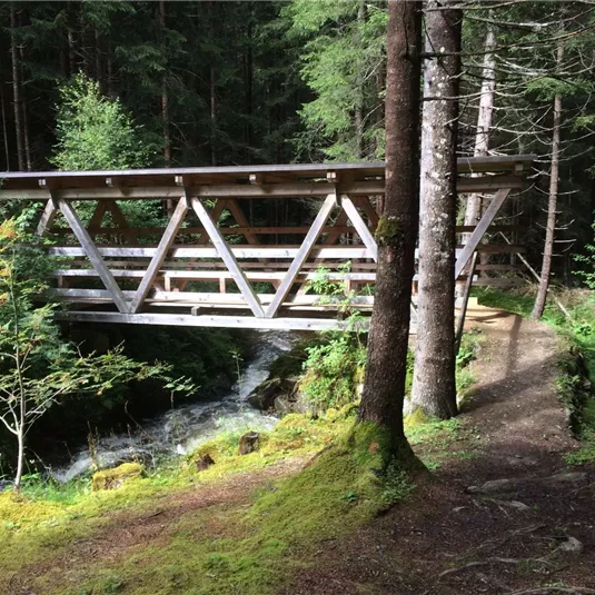
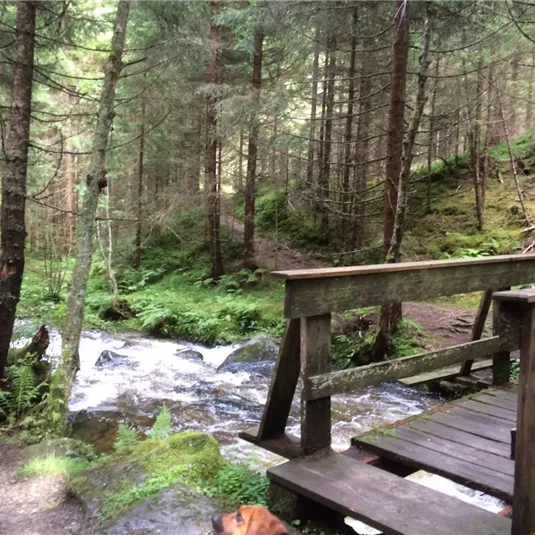
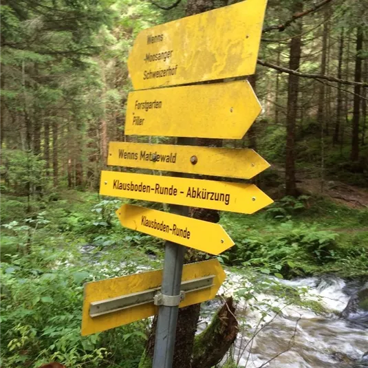
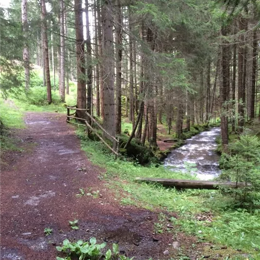
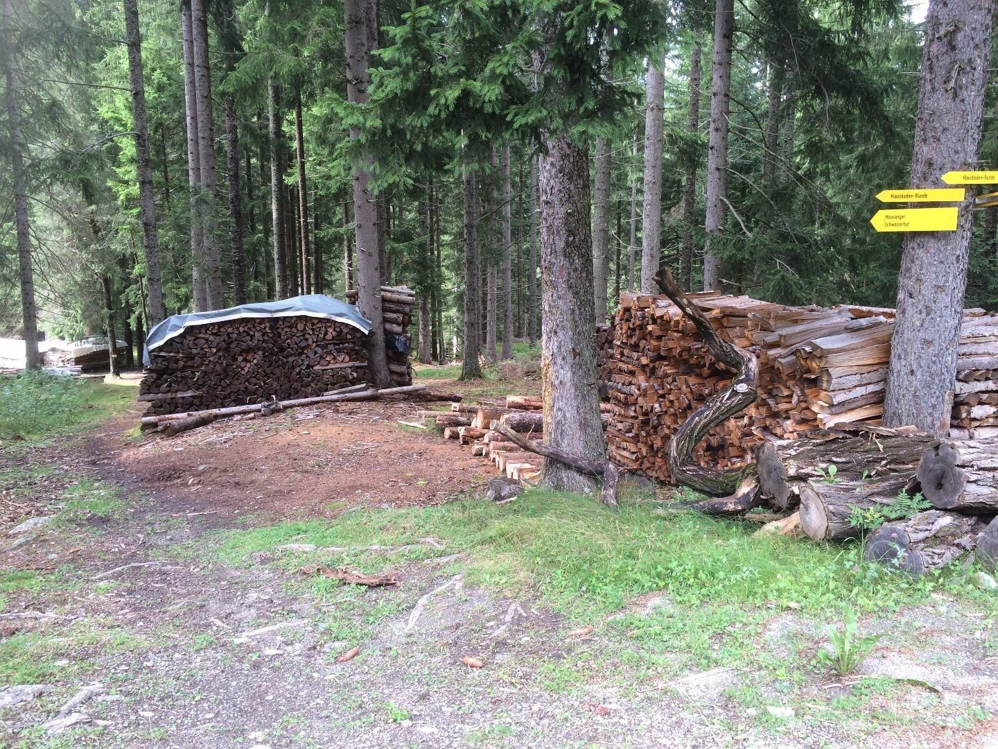
After the bridge turn left in the direction of Matzlewald. After the sawmill turn left down to the river and then follow the signposts of “Klausboden-Runde” until you return to your starting point. 

There is also a shortcut that turns off...

Read more ...

Features & Characteristics

Best Season

Jan

Feb

Mar

Apr

May

Jun

Jul

Aug

Sep

Oct

Nov

Dec

Starting Point:

Car park Klausboden

End Point:

Car park Klausboden

Family hike

Circular hike

Map & Elevation Profile

Arrival

Take the bus till the bus stop Piller Taschen. Walk 500 m down the road, then you reach the starting point. Fot hte arrival with the car use the car park Klausboden.
Similar Tours

Hard

St Leonharder Höhenweg (high-level trail)

Hard

Hiking tour

16,90 km

09:00 h

1390 hm

1360 hm

2374 m

NBE-2008-07-05-007369_Niall benvie.jpg

Easy

Rund um das Naturparkhaus - Vom Naturparkhaus nach Fließ

Easy

Thematic route
Walking trails

5,50 km

02:00 h

100 hm

570 hm

1585 m

Kalbenalm (3).jpg

Easy

Circular route: Kalbenalm and Tanzalm

Easy

Hiking tour
Hut hike

3,20 km

01:15 h

200 hm

2154 m

Infos
Accommodation