We use cookies for your personalized browsing experience, to personalize content and ads, to provide social media features, and to analyze traffic to our website. We also share information about your use of our website with our social media, advertising and analytics partners. Our partners may combine this information with other data that you have provided to them or that they have collected as part of your use of the Services. (incl. US providers)
Leins
Leins

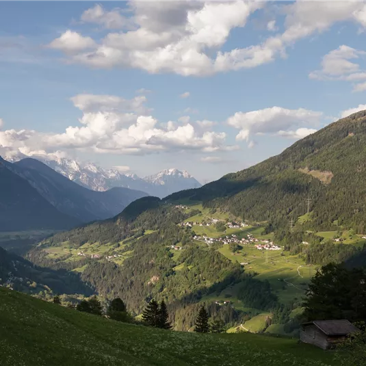
Leins circular route

Hiking tour

Easy

6,00 km

02:00 h

360 hm

1389 m

Description

Starting point: Church in the hamlet of Leins. The track leads left to the bus stop. From there  continue  walking  on  a  farm  track  to  Oberleins.  Following  this,  walk  along  the country road to Krabichl. Then follow a forest road to the...

Read more ...

Features & Characteristics

Best Season

Jan

Feb

Mar

Apr

May

Jun

Jul

Aug

Sep

Oct

Nov

Dec

Starting Point:

Church in Leins

End Point:

Church in Leins

Circular tour

Map & Elevation Profile

Arrival

Take the bus till the bus stop Leins Feuerwehr. For the arrival with the car use the car park Kirche Leins.

Similar Tours

Venetalm

Medium

Venet circular route

Medium

Hiking tour

28,00 km

09:00 h

1920 hm

2475 m

Tiefental-Alm_011.jpg

Medium

Hike to Tiefentalalm

Medium

Hiking tour
Hut hike

9,40 km

03:00 h

580 hm

1878 m

Stuibenwasserfall.jpg

Easy

Hike from Schön to Stuiben waterfall
Closed

Easy

Hiking tour

2,20 km

01:00 h

170 hm

1230 m

Infos
Accommodation