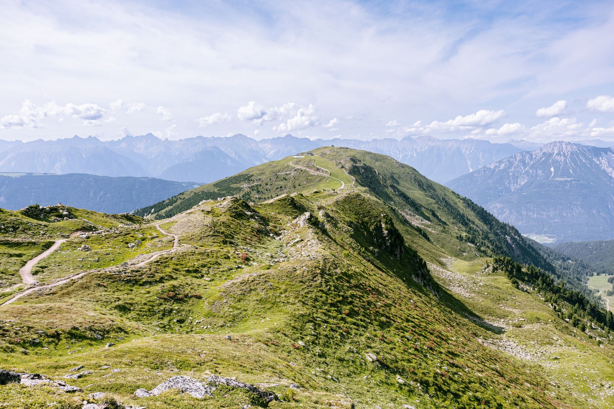
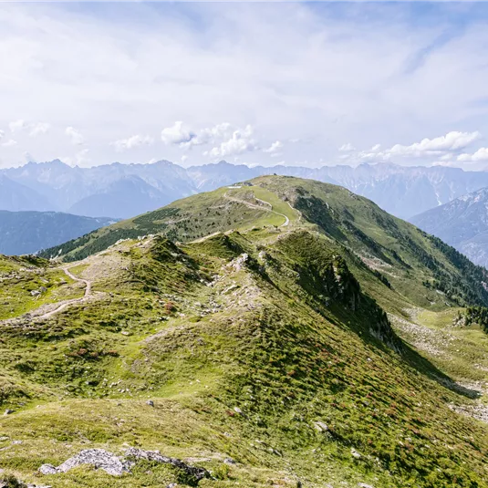
Panoramic hike with cable car support (Hochzeiger-Sechszeiger)
Hiking tour
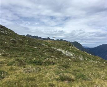
Summit hike
Medium
2,90 km
01:30 h
110 hm
220 hm
2500 m
Description
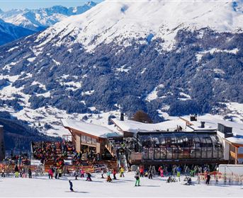
The panorama ridge hike leads from the Hochzeiger to the Sechszeiger or vice versa. The Hochzeiger 2.5 eight-seater chairlift and the Sechszeiger double chairlift support you on the ascent and descent.
Features & Characteristics
Best Season
Jan
Feb
Mar
Apr
May
Jun
Jul
Aug
Sep
Oct
Nov
Dec
Starting Point:
Bergstation Hochzeiger 2.5
End Point:
Bergstation Sechszeiger
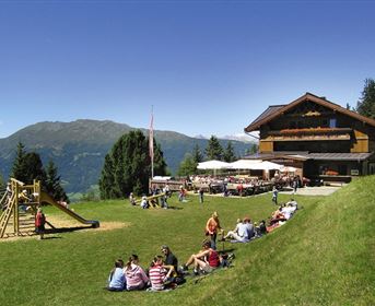
Family hike
Map & Elevation Profile
Arrival
Coming from Imst, follow the L16 Pitztaler Landesstraße to the Jerzens/Hochzeiger junction. Once you arrive at the Hochzeiger valley station, take the gondola (section I) and then the Hochzeiger 2.5 eight-seater chairlift (section 3) to get to the starting point.