We use cookies for your personalized browsing experience, to personalize content and ads, to provide social media features, and to analyze traffic to our website. We also share information about your use of our website with our social media, advertising and analytics partners. Our partners may combine this information with other data that you have provided to them or that they have collected as part of your use of the Services. (incl. US providers)
Trail Running.jpg
Trail Running.jpg

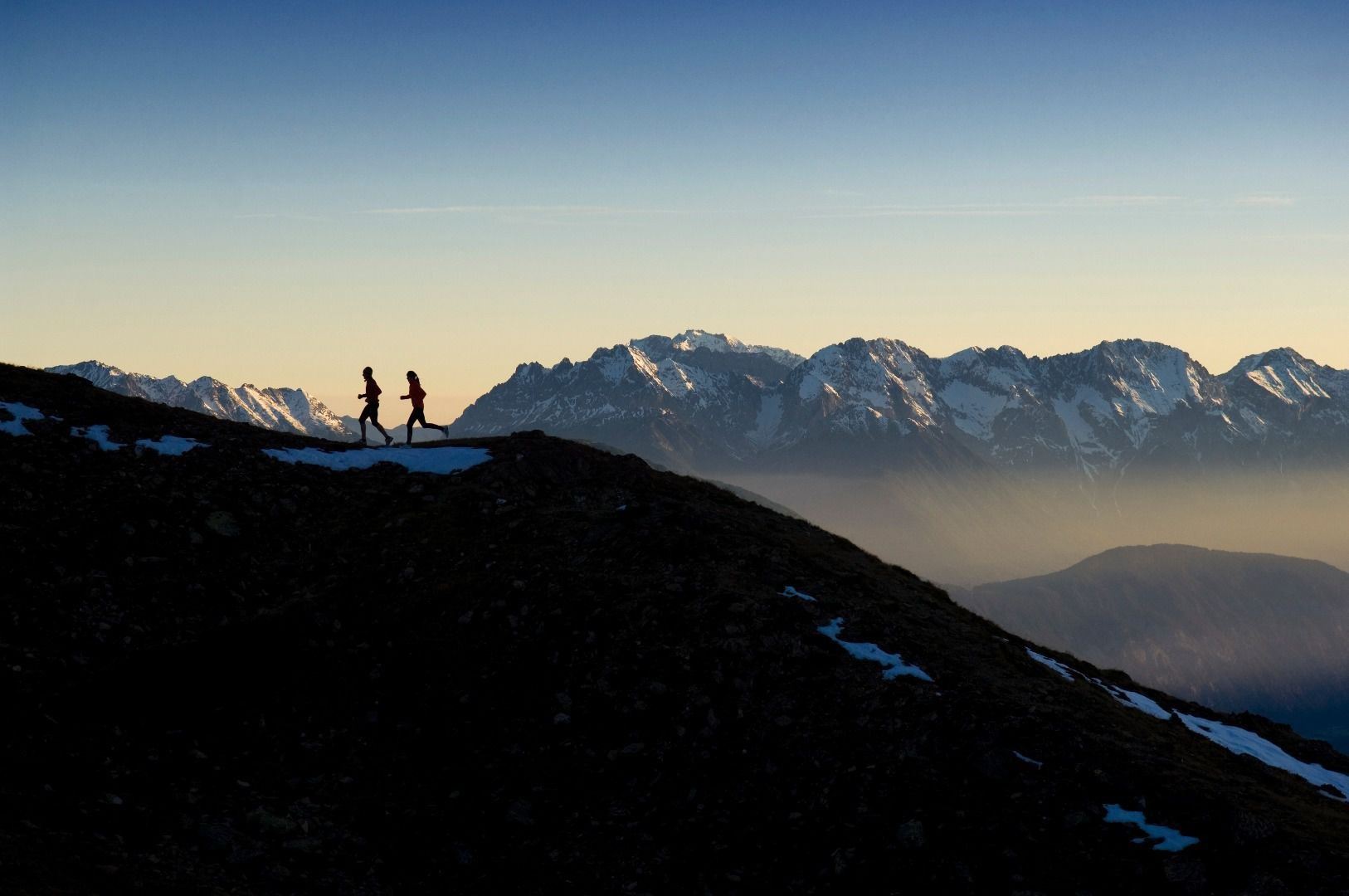
Sechszeiger - Hochzeiger Trail

Trailrunning

Medium

15,10 km

03:00 h

860 hm

2528 m

Description

Run from the intermediate station along the agricultural road to the catered mountain hut Tanzalm. Then continue on this road (Zirben Trail) for three kilometres all the way to the valley station of the Zirben mountain railway. At the following...

Read more ...

Features & Characteristics

Best Season

Jan

Feb

Mar

Apr

May

Jun

Jul

Aug

Sep

Oct

Nov

Dec

Starting Point:

Middel station

End Point:

Valley station

Map & Elevation Profile

Arrival

Follow the road signs to Jerzens Hochzeiger Bergbahnen.
Similar Tours

Taschach Alm

Medium

Muttler Skyrun

Medium

Trailrunning

11,20 km

03:00 h

910 hm

2580 m

Trail Running (4).jpg

Medium

3 summits circuit

Medium

Trailrunning

14,50 km

03:30 h

1250 hm

2510 m

Trail Running (4).jpg

Medium

Galflun Alm circuit

Medium

Trailrunning

11,40 km

02:00 h

800 hm

2164 m

Infos
Accommodation