to shopping cart
to cart for brochures

Walking routes

Walking routes in Tyrol

Relax on leisurely walks in Pitztal

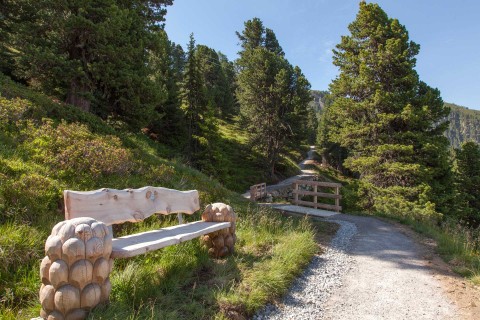
Walking routes in Pitztal are defined as short, hardly demanding routes. Some of our hiking paths are suitable for prams. Walking routes are particularly popular with senior citizens and families with small children. Or you may just wish to go on a romantic stroll to stretch your legs after a delicious dinner.

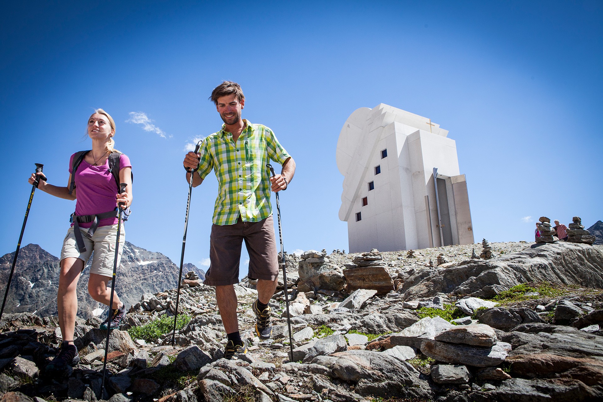
Pitztal does not only offer walking routes down in the valley but also easy routes on higher ground that can easily be accessed by using a mountain railway. You may, for example wish to go on the ZirbenPark circular route using Hochzeiger Bergbahnen, on the Lake Rifflsee circular route using Rifflsee Bergbahnen or walk to the Chapel of White Light on Pitztal Glacier.

Regions:
Whole Pitztal
Hochzeiger
Gletscher
Rifflsee

Walking in Pitztal

What nicer thing to do than going on a short walk in beautiful surroundings with your loved ones?

The hiking trails in Pitztal are especially popular with families with small children and senior citizens. The majority of our paths are suitable for prams and some are even wheelchair-accessible.

Top walking paths in our villages…

Arzl: Diemersteig, Osterstein circular route (small)
Wenns: Klausboden circular route, Piller Moor trail
Jerzens: ZirbenPark circular route, Village hike through Wiesen/processional route
St Leonhard: Gletscherstube, Lake Rifflsee circular route

Sitebuilder 
ZirbenPark circular route
View of the Pillermoor in the Kaunergrat Nature Park
chapel of white light
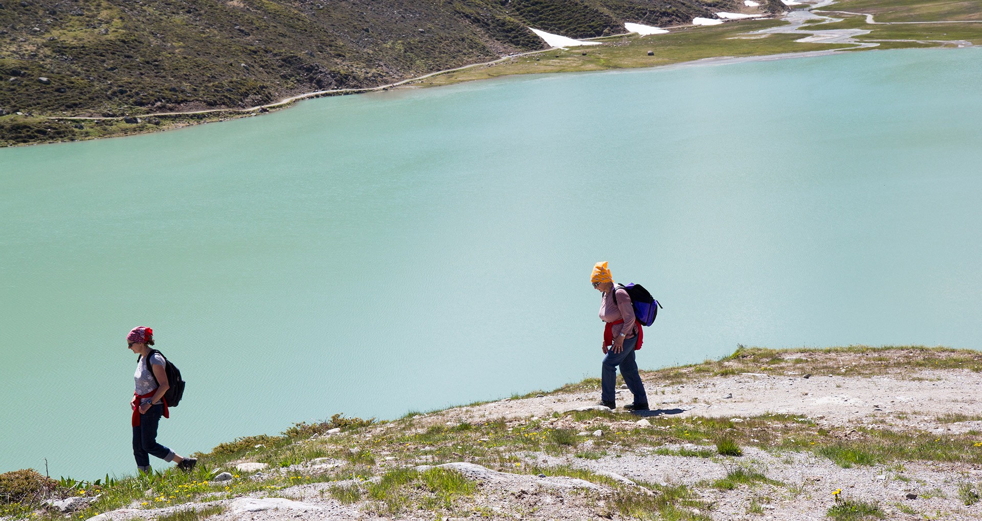
circular route Rifflsee for the whole fami

Categories

Difficulty

Distance

Distance ranges from 0km to 38km

Duration

Duration ranges from 0h to 10h

Altitude

Altitude ranges from 15m to 580m

Hike from Matzlewald to Jerzens fishpond

Ausgangspunkt
District of Matzlewald, Säge [sawmill] (1138m)
Endpunkt
District of Matzlewald, Säge [sawmill] (1135m)
Walk along the shaded forest road in the direction of Kienberg. When you come to a fork, take a left and follow a steep path to Kienberg. Once there, cross the road and turn left towards the Pitze river. Continue to walk by a flat and even path to the Jerzens fishpond. Return to Matzlewald by the same route.

Pitzenhöfe – Leins – retour

Ausgangspunkt
Fork before the football pitch (863m)
Endpunkt
Fork before the football pitch (862m)
Starting point before the football pitch. Turn right at the chapel, located directly adjacent to the road. Then, after about 200 m turn left in the direction of Unterleins. Once there, walk past the church to the bus stop and over a farm track to Oberleins. Return to the starting point via the same route.

Hike to Ritzenried

Ausgangspunkt
fire station Jerzens (1089m)
Endpunkt
fire station Jerzens (1100m)
Starting point: opposite the fire station, on the right hand side of the Mühlbach stream. The track begins with an easy ascent, with only a few minor hills to climb. At the first fork, follow the path to the right to the hamlet of Schön and continue to Ritztenried. Return via the same route. 

IVV Valley hike

Ausgangspunkt
Mittelberg (1733m)
Endpunkt
Arzl (854m)
The valley hiking trail leads from Mittelberg to Arzl. Return as you please: either on foot via the same route or simply by using the Regio Bus to take you back.

Duration: at leisure

Parts are suitable for prams - may include gradients:
  • Mittelberg bis Köfels
  • Trenkwald bis Schön
  • St. Margarethen bis Abwz. Timmls

Chapel path Arzl im Pitztal

Ausgangspunkt
Pfarrkirche Arzl im Pitztal (851m)
Endpunkt
Parkplatz Steige in Arzl im Pitztal (935m)
The starting point of the Chapel Trail is the Steige car park. From here, the trail leads past the Zangerl family farm shop in the direction of the village centre with the first stop at Arzl parish church. The church, first documented in 1358, is dedicated to Bishops Ingenuin and Albuin. On the cemetery right next to the church is the Our Lady, Help of Christians funerary chapel, a pilgrimage chapel from the late Gothic period. A steep path right next to the church continues to Lourdes Chapel, built in 1897. Hike back to the church via the same trail and then continue in the direction of Burgstall via a sunny uphill climb leading through forests and meadows and boasting wonderful views of the valley. Following the signs (“Kapellenweg Arzl”) you will reach the hamlet of Arzlair with the pilgrimage Chapel of Our Lady, majestically nestled on a hill like a castle. From there, continue downhill to Timls to the Chapel of Our Lady with ceiling frescoes by the Imst Rococo painter Josef Wörle. Now keep to the right, follow the signs, and stay on the road to the Steinhof fork. In the hamlet of Steinhof is the Chapel of the Holy Family, which was built in the mid-18th century, the last stop on the Chapel Trail. Walk along the valley hiking trail to the bus stop at the junction to Timls. Here you can conveniently get on the public bus to Arzl and get off at the town hall [Gemeindeamt]. If you prefer to hike back to Arzl along the valley hiking trail, please calculate another 30 minutes for the two kilometres back to the starting point (Steige car park).
2.) Wenns – Amishaufen – Hochasten – Plattenrain - Arzl

Ausgangspunkt
Haltestelle Pitztalerhof (1000m)
Endpunkt
Haltestelle Arzl Gemeindeamt (859m)

1.) Arzl – Wald – Leins – Wenns

Ausgangspunkt
Haltestelle Arzl Gemeindeamt (855m)
Endpunkt
Haltestelle Wenns Gemeindezentrum (999m)
Region: Hochzeiger

Walking routes Hochzeiger

Nature experience

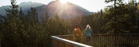
The whole family can easily and comfortably get from Hochzeiger valley station at 1,450 metres to the intermediate station at 2,000 metres above sea level via gondola. This is the ideal starting point for family hikes at Hochzeiger or a walk on our ZirbenPark nature trail. Those who wish to aim even higher can continue their way up via the Sechzeiger double chair lift up to 2,370 metres. From there, it is only a short walk to the Sechzeiger summit cross and its impressive 360 panorama.

Sitebuilder 

Easy hiking tips at Hochzeiger

ZirbenPark family hike
hiking tour from the gondola top station
Ascent with the gondola to the middle station at 2,000 Meter. This is the starting point for the one kilometer circular path through the ZirbenPark. There is much to discover at the various stations in the ZirbenPark. 
1 h walking time, easy hiking tour


short hike from the Sechszeiger lift top station
(A) *

Ascent with the gondola and double chair lift Sechszeiger, short walk to the Sechszeiger Mountain cross at 2,395 m, back to the Sechszeiger lake, breathtaking panorama view, 10 min walking time, easy hiking tour

* look up in the Hochzeiger hiking tips brochure

Region: Gletscher

Short Hiking Tours at the Pitztal Glacier

Scenic Loop Walk at Pitzal Glacier

Planning an easy walking tour you probably won't think about a glacier region. Thanks to the top modern mountain lifts at Pitztal Glacier you can explore the high Alpine regions on a lovely mountain walk almost effortlessly.

Sitebuilder 

Recommended short walking tours at Pitztal Glacier

Starting point: Gletscherexpresstop station at 2.840 m

  • Chapel Trail to the "Chapel of White Light" 
    Walking time: 15-20 min
    Difficulty level: light blue
     
  • Trail to Glacier Snout – NEW from summer 2017
    Walking time: 1 – 2 hours (both ways)
    Difficulty level: light blue
     
  • Trail to Cafe 3440 – NEW from summer 2017
    Walking time: 15-20 min
    Difficulty level: light blue
     
  • Mittelbergferner Hike – NEW from summer 2017
    Walking time: 1-1.5 hours
    Difficulty level: blue 
Hiking Tour towards the Chapel of White Light
Region: Rifflsee

Short Hiking Tours in the Rifflsee Area

Nature at its best at Tirol's Rifflsee

The mountain gondola ride up to Rifflsee promises uninterrupted views of the nearby mountain ranges and the Pitztal Alps.
A great choice of leisurely walking trails and hiking paths suitable for all the family is waiting for you at the Rifflseebahn top station.
 

Sitebuilder 

Walking Trails, Nordic Walking Paths and Trail Running Routes at Rifflsee

Start: Rifflseebahn (gondola) top station - Restaurant Sunna Alm 2,291 m

  • Rifflsee Loop Walk: around the scenic lake
    Distance: 3.7 km  Walking time: 40-60 min
    Difficulty level: none
     
  • Rifflsee Hut Round Tour: walking trail to Rifflseehütte
    Distance: 1 km  Walking time: 15-20 min
    Difficulty level: none
     
  • Sunna Alm–Muttenkopf  Hike: walking trail to Muttenkopf
    Distance: 1.5 km  Walking time: 20-30 min
    Difficulty level: none
Hiking around Rifflsee Lake
Information

Webcams

Information

Weather

Information

0 - 70cm

Information

3 open lifts

Information

7 open slopes

Öffungszeiten

Now open

Angebot suchen

Search for offers