to shopping cart
to cart for brochures

Summit experience

Summit experience

Discover Pitztal’s diverse summit tours

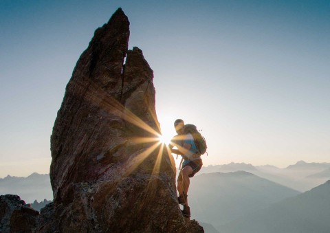
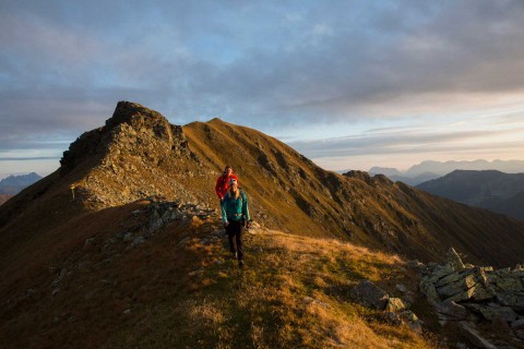
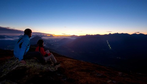
The summits of Pitztal are truly powerful places. Experience the sensation of being at the top of the world and enjoy panoramic views of the breath-taking mountain scenery with its deep valleys and steep rock faces. This unique experience will leave you with memories of a lifetime. 

Summit tour tips: Pitztal’s impressive 3000 m peaks…

Apart from difficult and demanding tours such as the highest mountain of North Tyrol, the Wildspitze at 3,774 metres, Pitztal also offers easier and more achievable summit tours. 

For beginners, we recommend the Rappenkopf peak in St Leonhard in Pitztal. The summit can be reached in an easy hike starting from the Arzler Alm mountain hut. 

Further easy, moderate and difficult summit tour tips are the Rofelewand, Stallkogel, Gemeindekopf, Hochzeiger, Venet, Sechszeiger and more. 

Don’t forget an indulgent stop at one of the mountain huts…

After a demanding summit tour, stop in one of our rustic and idyllic mountain huts. 

Regions:
Whole Pitztal
Hochzeiger
Gletscher
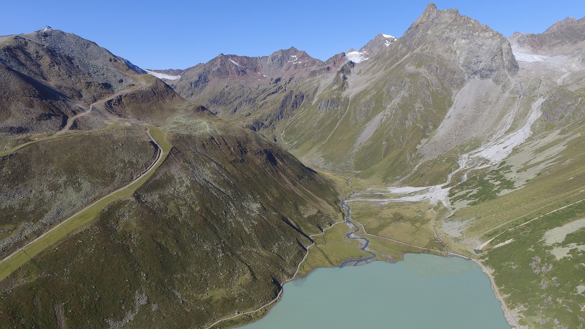
Rifflsee

Summit tours in Pitztal

Enjoy tranquillity and unforgettable vistas from one of our summits. At the very top and far removed from problems and stress – that’s how relaxing a hiking holiday is in Pitztal. To magnify this peak experience many of Pitztal’s summits have been designed and built with care using natural materials and providing information boards about history, flora and fauna.

Top summit tours in our villages…

Arzl: Walder Gipfelkreuz
Wenns: Venet circular route, Aifnerspitze
Jerzens: Wildgrat, Hoher Gemeindekopf 
St Leonhard: Mittagskogel, Stallkogel

Sitebuilder 
summit tour to the summit Hohe Geige
to climb up the summit
tour to the summit Aifnerspitze
circular route Venet with the view of the valley
Region: Hochzeiger

Summit tours Hochzeiger

Riegetal nature reserve

Discover absolutely pristine nature with a glistening green mountain lake at its centre at Riegetal nature reserve. Visit the "Groaßsee" lake in the heart of this nature reserve. The three summits "Hochzeiger", "Wildgrat" and "Gemeindekopf" are rewarding destinations for experienced hikers.

Sitebuilder 

A selection of Summit tours at Hochzeiger

Hiking tips from the Sechszeiger lift top station
(G) *

To the Hochzeiger, into the upper Riege Valley and continue to the "Groaß" Lake, before eventually reaching the "Wildgrat" ridge (approx. 4 hours). Return to the gondola top station (approx. 2 hours 45 min.). Walking time: approx. 6 hours 45 min. Longer mountain hike​


Hiking tips from the Gondola top station
(N) *

Hike to the Hochzeiger and then into the Riege Valley before reaching the "Groaß" lake (2 hours 45 min.). Return via the top station of the "Zollberg" lift and then to the bottom lift station. Walking time: 5 hours. Longer mountain hike​

(O) *

Hike to the Wildgrat at 2,971 m: Walk to the top station of the "Zollberg" draglift. Walk to the "Groaß" lake before eventually reaching the "Wildgrat" ridge. Return using the same route. Walking time: 6 hours 30 min. Longer mountain hike​

(P) *

Hike to the "Gemeindekopf" at 2,771 m. Walk to the top station of the "Zollberg" draglift. Walk to the "Groaß" lake and then turn right to the "Gemeindekopf" peak. Return using the same route. Walking time: 5 hours 30 min. Longer mountain hike​

* look up in the Hochzeiger hiking tips brochure

Region: Gletscher

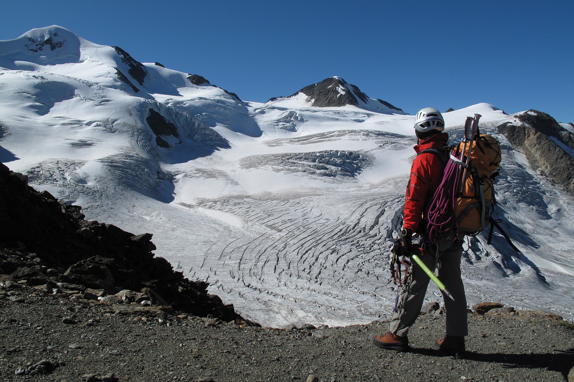
Illustrious Names - High Alpine Peak Tours at Pitztal Glacier

North Tirol's Highest Mountain – Wildspitze Peak & more summits higher than 3,000 meters

Thanks to the Gletscherexpress mountain lift you conquer some 1,100 altitude meters quite effortlessly in only 8 minutes.
After such a record-beating ascent you enjoy new perspectives when it comes to high Alpine peak tours that can be made within one day. One of the classic highlights is the tour to Wildspitze peak.
Additionally, many more rewarding summits and Alpine ridges are accessible from the Gletscherexpress top station at 2,840 meters above sea level.


Very important:

Prior Alpine experience and appropriate hiking equipment absolutely required.
We strongly recommend you to enlist a certified local mountain guide for this tour.

Sitebuilder 
  • Hinterer Brunnenkogel 3,440 m (Austria's highest mountain gondola) incl. ascent on Pitztal Glacier Footpath leading to Taschachhaus
    Walking time: 7 hours
    Difficulty level: black
     
  • Mitterkopf 3,344 m
    Walking time: 2 hours
    Difficulty level: blue-red
     
  • Vorderer Brunnenkogel 3,396 m
    Starting point: Wildspitzbahn top station
    Walking time: 1 hour
    Difficulty level: blue-red
     
  • Linker Fernerkogel 3,277 m
    Walking time: 3 hours
    Difficulty level: red-black
     
  • Rechter Fernerkogel 3,300 m
    Walking time: 3 hours
    Difficulty level: red-black
     
  • Innere Schwarze Schneid 3,367 m
    Walking time: 3-4 hours
    Difficulty level: black
     
  • Karleskogel 3,106 m
    Walking time: 3.5-4 hours
    Difficulty level: black
     
  • Tiefenbachkogel 3,307 m
    Walking time: 3 hours
    Difficulty level: red-black
     
  • Mutkogel 3,309 m
    Walking time: 3 hours
    Difficulty level: red-black
     
  • Weisser Kogel 3,407 m
    Walking time: 4 hours
    Difficulty level: red-black
     
  • Taufkarjoch 3,210 m
    Walking time: 4 hours
    Difficulty level: blue-red
     
  • Taufkarkogel 3,362 m
    Walking time: 4.5 hours
    Difficulty level: red-black
     
  • Brochkogel 3,423 m
    Walking time: 4-5 hours
    Difficulty level: black
     
  • Petersennspitze 3,482 m
    Walking time: 4 hours
    Difficulty level: red
  • Short hikes/walks at Pitztal Glacier
  • Walking tours in the Glacier Area
  • Alpine hiking tours around Pitztal Glacier
High Alpine Tour to Wildspitze (c) Dieter Wissekal
Region: Rifflsee

True Insider Tips for Mountain Aficionados

Unique Peak Conquests in the Rifflsee Area

The fabulous summits and mountain tops of the Rifflsee area still rank among the less crowded Alpine regions. Even true insiders and connoisseurs of Pitztal will find secluded side valleys offering beautiful ascent routes leading to less popular peaks.
As all these hiking routes are in high Alpine terrain and you are strongly recommended to enlist one of the certified Pitztal Mountain Guides in order to guarantee a safe ascent.

 
Sitebuilder 
  • Brandkogel 2,676 m - Demanding Alpine hiking tour
    Walking time: ascent 1 hour / descent 1 hour
    Difficulty level: red-black
     
  • Zurakogel 2,895 m
    Walking time: ascent 2 hours / descent 2 hours
    Difficulty level: black, no trail markers
     
  • Steinkogel 2,632 m
    Walking time: ascent 3 hours / descent 2 hours
    Difficulty level: black, no trail markers
     
  • Seekarlesschneid 3,207 m  - High Alpine crossing towards Kaunergrathütte
    Walking time: 3.5-5 hours
    Difficulty level: red-black, no trail markers
     
  • Rostizkogel 3,304 m - High Alpine hiking tour incl. glacier crossing
    Walking time: 4 hours
    Difficulty level: black, high Alpine terrain
     
  • Schneidiges Wandle 3,357 m - High Alpine hiking tour
    Walking time: 3 hours
    Difficulty level: black, no trail markers
     
  • K2 3,150 m - High Alpine hiking tour
    Walking time: 3.5 hours
    Difficulty level: red-black, no trail markers
     
  • Löcherkogel 3,324 m - High Alpine hiking tour
    Walking time: 4 hours
    Difficulty level: black, no trail markers
     
  • Wurmtaler Joch 3,089 m - High Alpine hiking tour incl. glacier crossing
    Walking time: 4 hours
    Difficulty level: red, some parts are perfectly signposted
     
  • Wurmtaler Kopf 3,225 m - High Alpine hiking tour incl. glacier crossing
    Walking time: 4.5 hours
    Difficulty level: red, some parts are perfectly signposted
     
  • Vorderer Eiskastenkopf (Hochkopf) 3,086 m - High Alpine hiking tour
    Walking time: 5 hours
    Difficulty level: red-black, no trail markers
     
  • Short hikes/walks at Rifflsee
  • Walking tours in the Rifflsee Area
  • Alpine hiking tours within Rifflsee
0 OFFEN
WEBCAMS
WETTER
Rifflsee Lake and Rifflseebahn Top Station
Information

Webcams

Information

Weather

Information

0 - 70cm

Information

5 open lifts

Information

7 open slopes

Öffungszeiten

Now open

Angebot suchen

Search for offers